
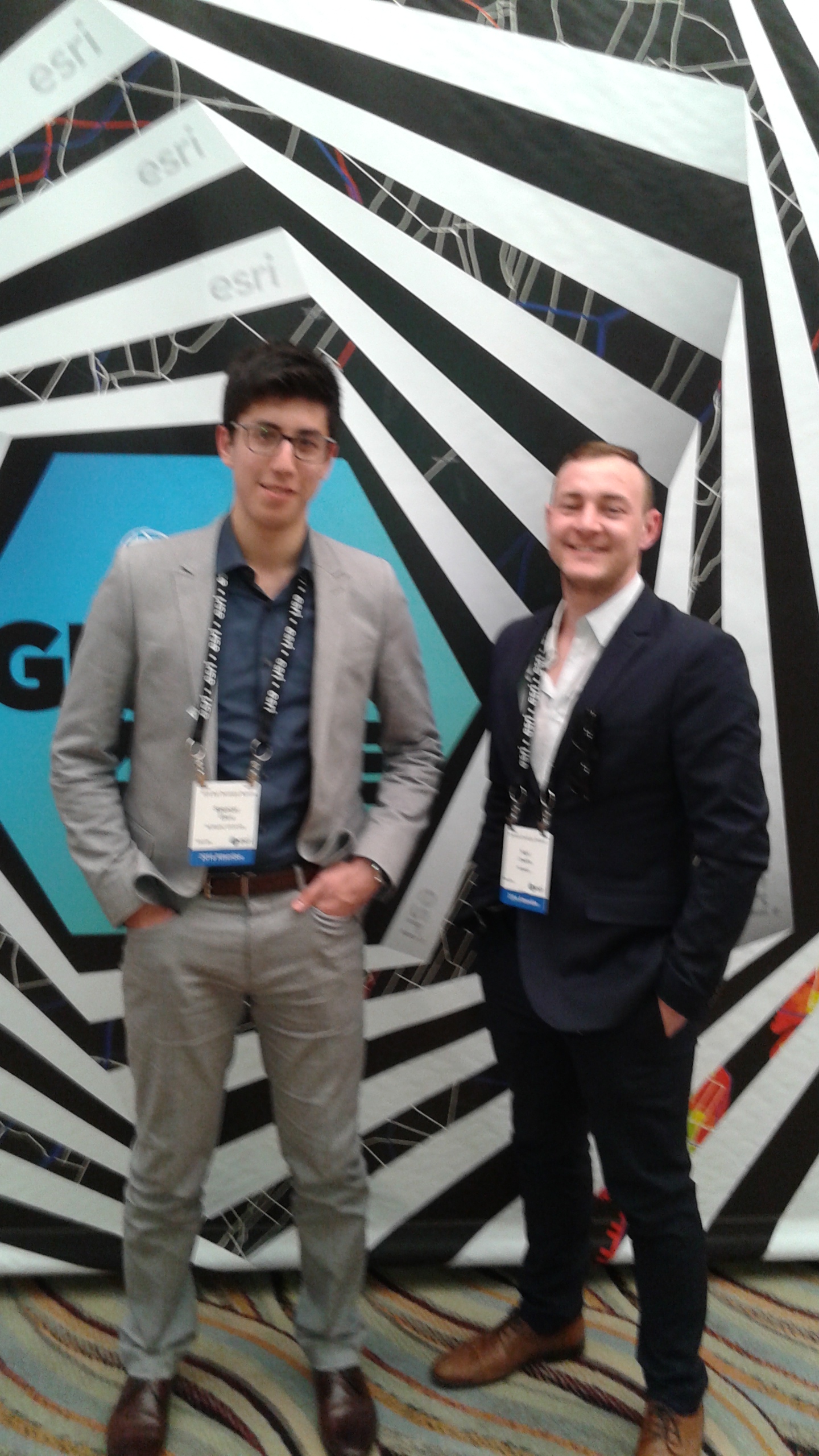
Impressions from the 2016 Esri Developer Summit: Karl Chastko
Karl Chastko is a 4th year undergraduate student and ECCE Student Associate from the School of Geography and Earth Sciences at McMaster University. You can follow Karl on Twitter @KarlChastko.
This year, I have been fortunate enough to attend three Esri conferences: the Toronto User Conference, the GIS in Education and Research Conference, and finally, the Esri Developer Summit (DevSummit). Although the first two conferences were great, the Esri Developer Summit was probably the most exciting GIS conference you could possibly imagine. Aside from spectacular seminars on a wide range of topics for all level of GIS experience, the conference was also hosted in beautiful Palm Springs, California and included a dodgeball tournament and carnival.
The DevSummit is held every year and is focused on bringing together GIS developers from around the world to meet and exchange new ideas in GIS software development. This was my first ever DevSummit, and going into it, I was not quite sure what to expect. I consider myself a novice coder and was somewhat nervous about whether or not I would be able to keep up with the technical presentations. To my surprise, I was able to find more than enough presentations that were perfectly suited to my skill set and interests. Many of the sessions I attended were focused on Python development and application, and I was astounded at the things people are doing with Python to make sense of big data as well as leveraging SciPy for complex processing of spatial data.
Aside from technical sessions, there were also tons of great demos of new Esri technology. These included things such as improvements to Esri CityEngine and ArcGIS Pro, as well as new programs such as Insights for ArcGIS and Drone2Map for ArcGIS. 3D visualization is quickly becoming an integral part of geospatial processing and analysis rather than a novelty, and seeing the tools available to make this happen was really exciting.
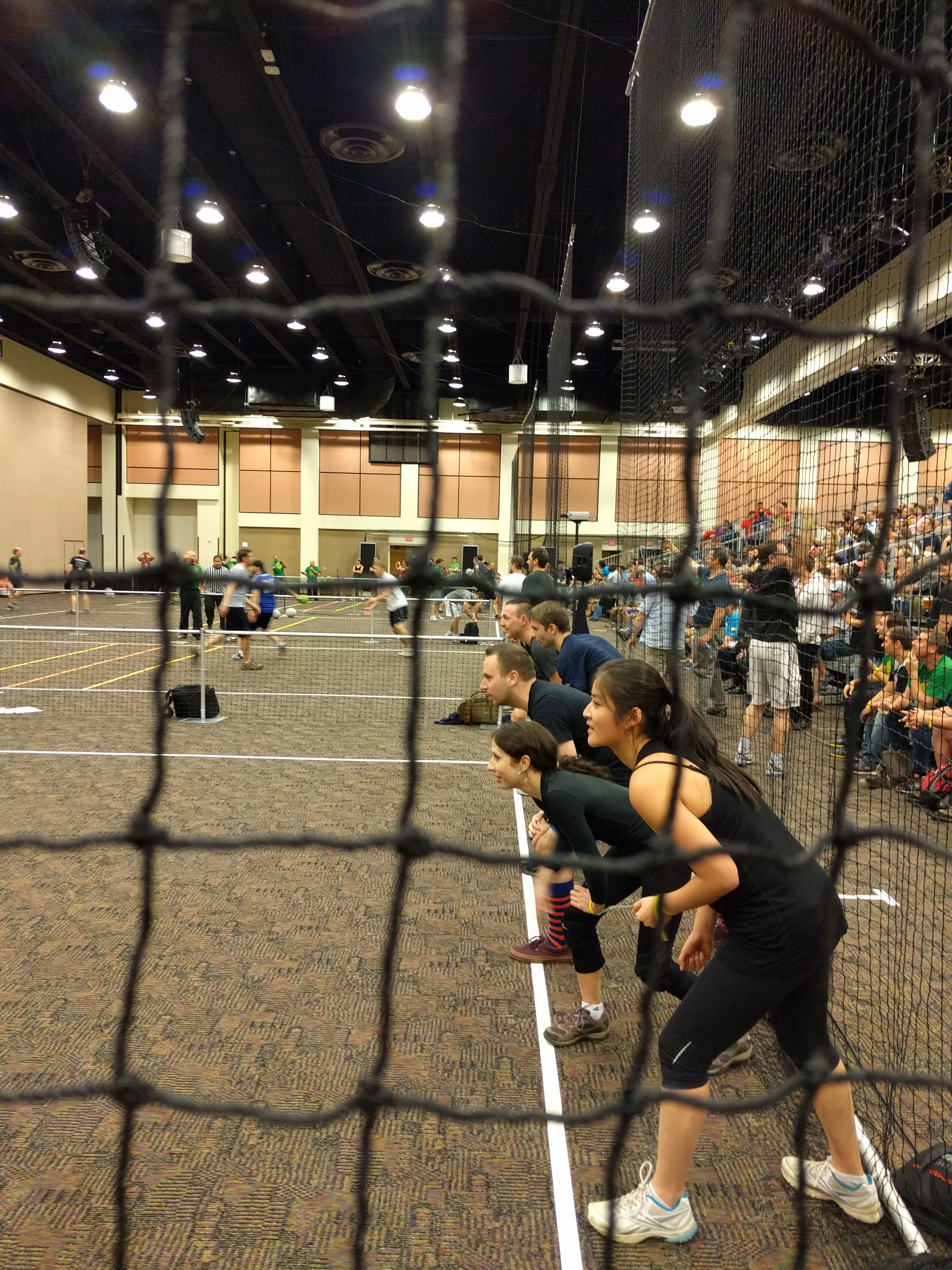
Of course the conference wasn’t all business, and there was plenty of time to enjoy the city and meet all of the amazing people there. On Tuesday night, there was a meet-and-greet with the different development teams at Esri where we were given the chance to meet the amazing people that make Esri software. On Thursday evening was another great social event, the annual dodgeball tournament, which I was fortunate enough to take part in as a member of the Esri Canada team. It’s hard to beat seeing a bunch of adults fiercely competing in a dodgeball tournament for a free trip to next year’s DevSummit.
The best thing about the Developer Summit for me was that I was able to attend free of charge due to the financial assistance of Esri Canada as well as various campus partners here at McMaster. I am so thankful that I was able to attend this conference as an undergraduate student, because it really opened my eyes to what kinds of things are possible in the world of GIS!