Have you ever wondered what Earth looks like from the International Space Station?
Back in October some amazing folks at the International Space Station captured and shared their view as they orbited Earth. The images were captured 400km above the earth on October 23rd, 2017, from 8:25am to 10:05am ET. NASA then asked those of us on Earth to capture a moment in time with a picture from our view. The idea was that as the International Space Station orbited Earth taking photos from space, those of us on Earth would share our view. People were asked to share their images on twitter or Instagram using the #1world1orbit hashtag. There was a phenomenal number of responses globally!
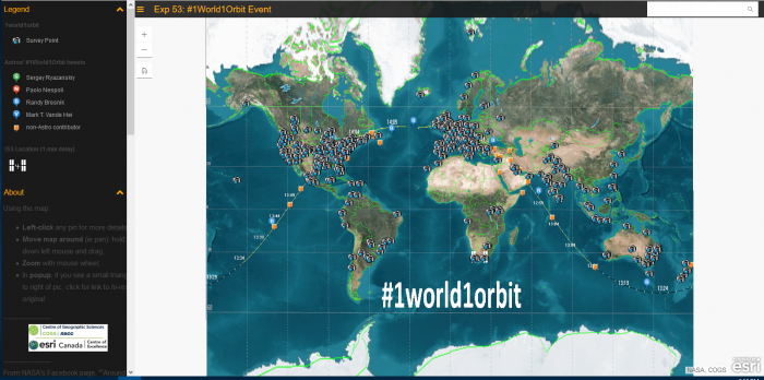
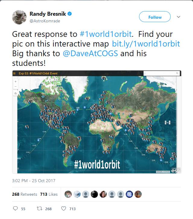
Here at COGS we were making a map to show all the images being shared via twitter (and some from Instagram). Approximately 16 students and staff combed through twitter to add each of these points to a map which included the photos people shared and links back to their post. We used survey123 as our way to input the data for the map. The data was then displayed using an Esri ArcGIS Online Map, with the background coming from an image supplied by NASA and Esri’s dark grey base map. Over 600 points were added from the content being shared on twitter. The map even got a shout out on twitter from astronaut Randy Bresnik (@AstroKomrade):
Thanks for checking out this blog. Feel free to visit either of the links below to learn more about the map or to add your own point. Talk to you all soon with another update on the fun and excitement here at COGS!
Take a look at the map and visit places through a local’s eyes (or camera lens): bit.ly/1world1orbit
If you want to add your own point feel free to do so at: https://survey123.arcgis.com/share/4e49cf17e64147b39b571f4fa627c153


