
GIS requires data. In environmental sciences, this often means going out to an area, collecting and entering data, and then performing the actual analyses. In this blog post, I will discuss my Co-op and research assistant experiences working on four different projects across Canada. These have examined various topics: impacts of climate change on bird diversity across northern Saskatchewan, wetland ecohydrology in Ontario, population ecology of endangered songbirds in southern Alberta, and caribou habitat in British Columbia.
Navigating
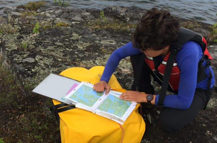
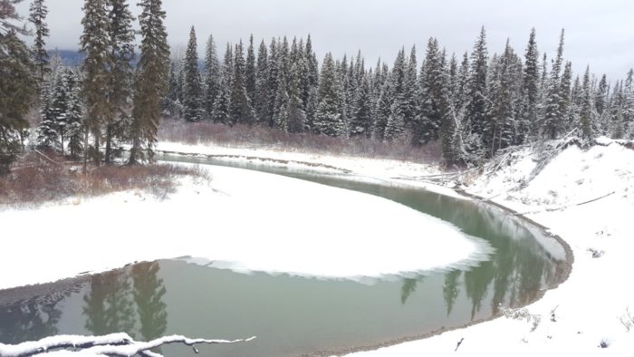
In remote areas of northern Saskatchewan, my field partners and I navigated to sampling locations using paper maps and handheld GPS devices. Once there, we collected data on songbird diversity and vegetation. 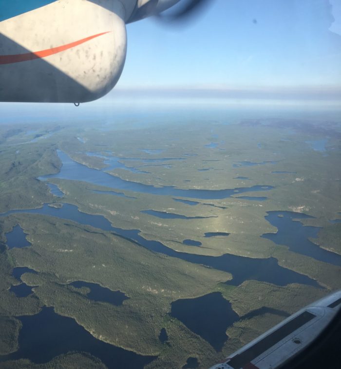
Getting to see the area in a floatplane was a super cool experience!
How do you get to the site where you’re collecting data? I’ve taken trucks, float planes, canoes, and hiked. The most remote fieldwork I did was in the far north of Saskatchewan, where we got dropped off for week-long stretches of fieldwork. We used paper maps to plan out how we were going to canoe between sampling locations. To get to the specific sites, we used a handheld GPS device. The sampling locations were pre-selected using GIS to encompass a variety of landcover types. Having both paper maps (in plastic cases to avoid getting wet) along with multiple GPS devices (and extra batteries) gave us a backup should one fail.
More recently, I used ArcGIS’s Collector app (on a phone or tablet) in place of a GPS device. The app was super handy, as you can choose what data you want to display by turning layers on the map on and off. You can also look at the attributes of any data you have available. On the other hand, the GPS method made a lot of sense for the northern Saskatchewan work, as keeping a GPS charged for a week is a lot easier than keeping a smartphone charged for that long.
Collecting data
I worked on a research project in southern Alberta where we found bird nests and monitored their hatching and fledging success. Once we found a nest, we recorded coordinates using handheld GPS devices. We also drew paper maps of features like cactuses in a small area around the nest in order to find the nests when we went back to monitor them (this is surprisingly challenging). We recorded data, including the number of eggs or age of chicks, on paper datasheets and entered the information into a spreadsheet after returning from the field. Afterwards, we downloaded the GPS coordinates so we could do GIS analysis with the data. The analysis I did looked at how the spatial arrangement of nests impacted their success rates.
This data collection method worked, but perhaps ArcGIS Collector would have been more efficient. As you’d expect based on the app’s name, you can input data for new or existing points. Collector eliminates the need for manual data entry, thereby increasing efficiency and reducing possible copy errors, which is excellent! We could have included photos of the area surrounding the nests in Collector to help find the nests a second time. It would also have been much easier to share nest locations between fieldwork partners and add the data into any project we did with ArcGIS software afterwards.
Understanding and analyzing data
Some of the most interesting GIS work I have done was looking at caribou habitat. I combined large datasets to create GIS layers for associating caribou movement data with habitat features and analyzed areas of natural and anthropogenic disturbance within caribou ranges. This position did not involve field data collection for me, as I worked with pre-existing datasets. However, I did get to visit some of the areas I was working on with biologists studying caribou. I learned a lot about what habitat features might be important for caribou, and the impacts of various disturbances on the ecosystem. Getting to experience the landscape, especially with experts, allowed me to understand the data I was working with better and do more accurate and useful analyses.
Overall, my past experiences with GIS and fieldwork show that they are highly interconnected and mutually beneficial. In tandem, they allow for more useful and efficient work.
Note that maps have not been included in this blog post as the ones I created concerned endangered species and their specific locations are confidential.