
Why Organize Anyways?
For as long as I can remember, I have been disorganized. Whether it was the inside of my backpack or my computer files, organizing has never been my priority. Throughout my undergraduate, my friends would always pick on me for saving all my files to my desktop. Sometimes, they would even organize them for me, since they couldn’t bear looking at my home screen covered in files. I always told them that it didn’t matter, since I could just use the search bar to find my files if need be. I saw the digital organization as a waste of time, not a time-saver.
When I began my graduate certificate of GIS at the Centre of Geographic Sciences (COGS), I came in with exact same attitude. During the first week of class, we downloaded many different software packages. I paid no attention to where I downloaded them and thought nothing of it. I didn’t even bother to create file folders for the different classes and simply continued to do as I had always done- save things to whatever recommended place my computer gave me.
From Disorganization to Organization
It only took two weeks in the program for me to realize that this strategy would not work well. I found myself struggling to find files quickly and would miss small portions of the lesson as I attempted to find them. Not only that but data such as shapefiles sometimes wouldn’t work as I had divided it up by accident. My own disorganization began to frustrate me, something that had never happened before.
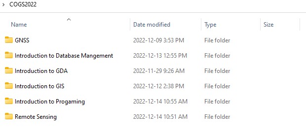
It was hard for me to continue justifying my active choice to not organize. So, I took the first step that many do automatically – I made 6 different folders, one for each of my classes. Then, I painfully collected all the files and moved them to the appropriate place. This was a huge change for an anti-organizer for me. I immediately found that I was able to pull up my work faster, and was able to follow along to lessons better.
I then began implementing the skills I was gaining in my introductory database management course. I started a naming scheme for all my files, created subfolders, and filled out the item detail pages on ArcGIS Online. My work became much more efficient, giving me more time to work on my tasks. When the winter semester started and I began my capstone project, I was really able to see the difference in my work. For my community mapping capstone project, I used both QGIS, ArcGIS Pro and ArcGIS Online. I have no options but to be organized to allow for the data to be easily transferable and seamless between platforms. Not only for me to use the data, but for it to be shared with the community I was working with. Somehow, with all the skills I learned, I did it.
Advice for new GIS users
If there is any advice I could give new users of GIS, it would be to take the time to learn database management. Though it may seem intimidating, it is a vital skill to create more effective workflows. It might take some time to unlearn your old habits, but your future self will be thanking you for doing it.