
2019 Esri Developer Summit Experience
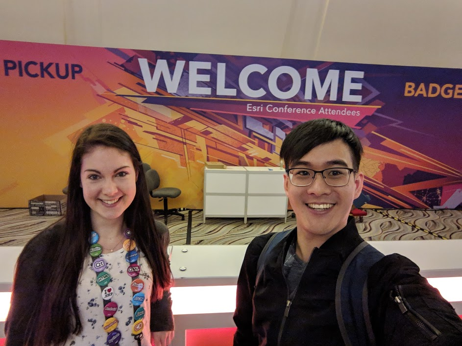
This year I had the opportunity to attend the 2019 Esri Developer Summit in Palm Springs, California with a fellow SFU ECCE Student Associate, Chris Yee. Attending a conference in the desert was a welcome change of scenery in contrast to the snow and cold weather we have been experiencing in Vancouver. This Developer Summit attracted more than 2,100 attendees and was said to be the largest geospatial development conference in the world.
Having arrived midday on the first day of the conference, I jumped into the afternoon technical sessions. My MSc research involves developing artificial intelligence methods for modeling land cover change, so I focussed on attending relevant sessions showcasing the capabilities of the ArcGIS API for Python. The technical sessions and demonstrations I found most interesting pertained to geospatial Artificial Intelligence (geoAI), data science, and working with rasters, imagery, and multidimensional scientific data. I also learned more about pandas and the Spatially Enabled DataFrame.
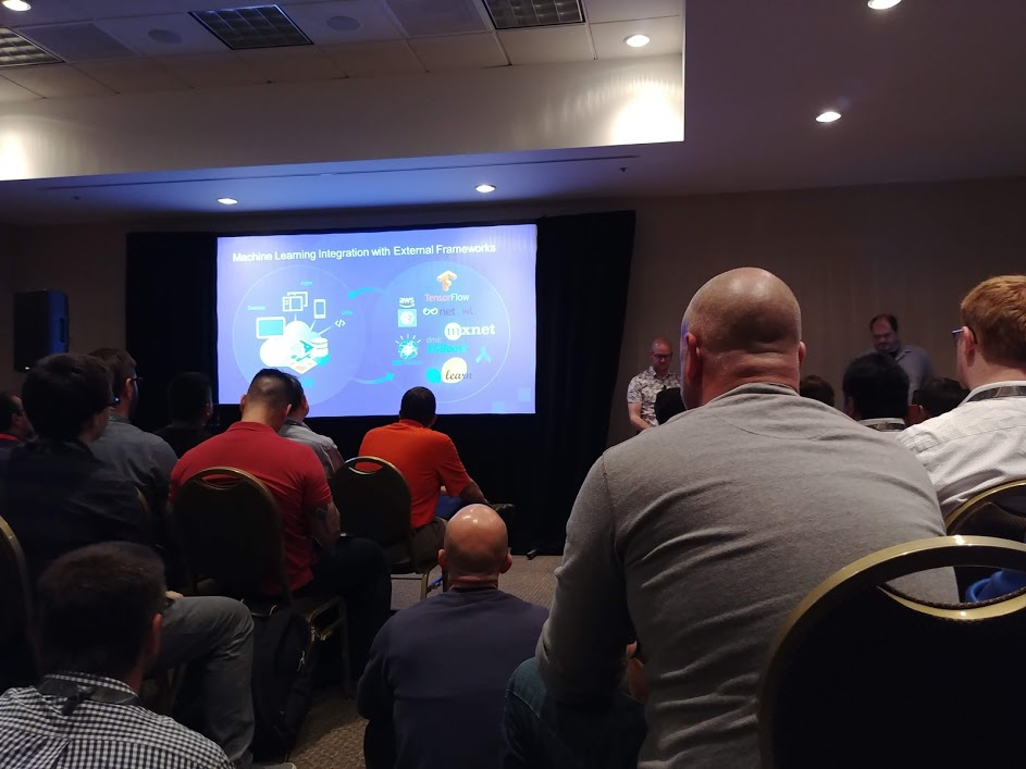
Having the members of Esri’s product development teams deliver presentations at the conference provided opportunities to ask developers of the APIs and tools questions. It was inspiring to observe sample use cases and I greatly enjoyed the programming examples interspersed throughout all the sessions I attended. There were many tools that I believe will enhance my current workflow and guide future technology selections for my project. I also attended a session outlining new additions and enhancements for the ArcGIS API for JavaScript. It was amazing to see the advancements including WebGL and movement of operations to the client-side.
On Wednesday, the Developer Keynote Session featured Glenn Vanderburg, Vice President of Engineering at First. In his talk, titled “Real Software Engineering,” Vanderburg explains how software engineering parallels the traditional notion of engineering. He mentions the flaws of prescriptive software development methods taught in formal software development education, such as the waterfall method. Instead, he suggests that more interactive and iterative processes are ideal. Having participated in both waterfall and agile development methodologies, I definitely agree! I also appreciated his closing remarks on training software engineers in ethics. Taking “The Social Implications of a Computerized Society” in my undergraduate career at SFU was both a required and an enlightening experience which I believe made me more cognizant of how software and encoded biases might affect others.
Following the Keynote, I attended the lightning talks in the ECCE/EDC meeting with the other Canadian student associates. Some of the lightning talks covered ArcGIS Notebooks and SciPy Integration in GIS teaching. I also attended the “WeCan Share and Connect: Women’s Idea Exchange” event where I learned about the work other women are conducting in industry and academia.
The highly anticipated Developer Summit party was held Thursday night, consisting of a dodgeball tournament, carnival games, and food trucks. On Friday, the closing sessions included a panel of product development team leads, where questions submitted and recorded by conference attendees were answered.
I am grateful to the SFU ECCE, coordinated by Drs. Suzana Dragicevic and Shiv Balram, for this opportunity to attend the 2019 Developer Summit. Thank you as well especially to Dr. Michael Leahy and the Higher Education Development group from Esri Canada for the guidance and for coordinating meetings throughout the duration of the conference. It was great to meet other ECCE students associates from McMaster and COGS (Nicole, Anna, Anastassios, and Edward)! The 2019 Esri Developer Summit was a fantastic opportunity to meet other students and geospatial developers in industry and academia. For any students or geospatial developers who love learning about new technologies, I highly recommend attending!