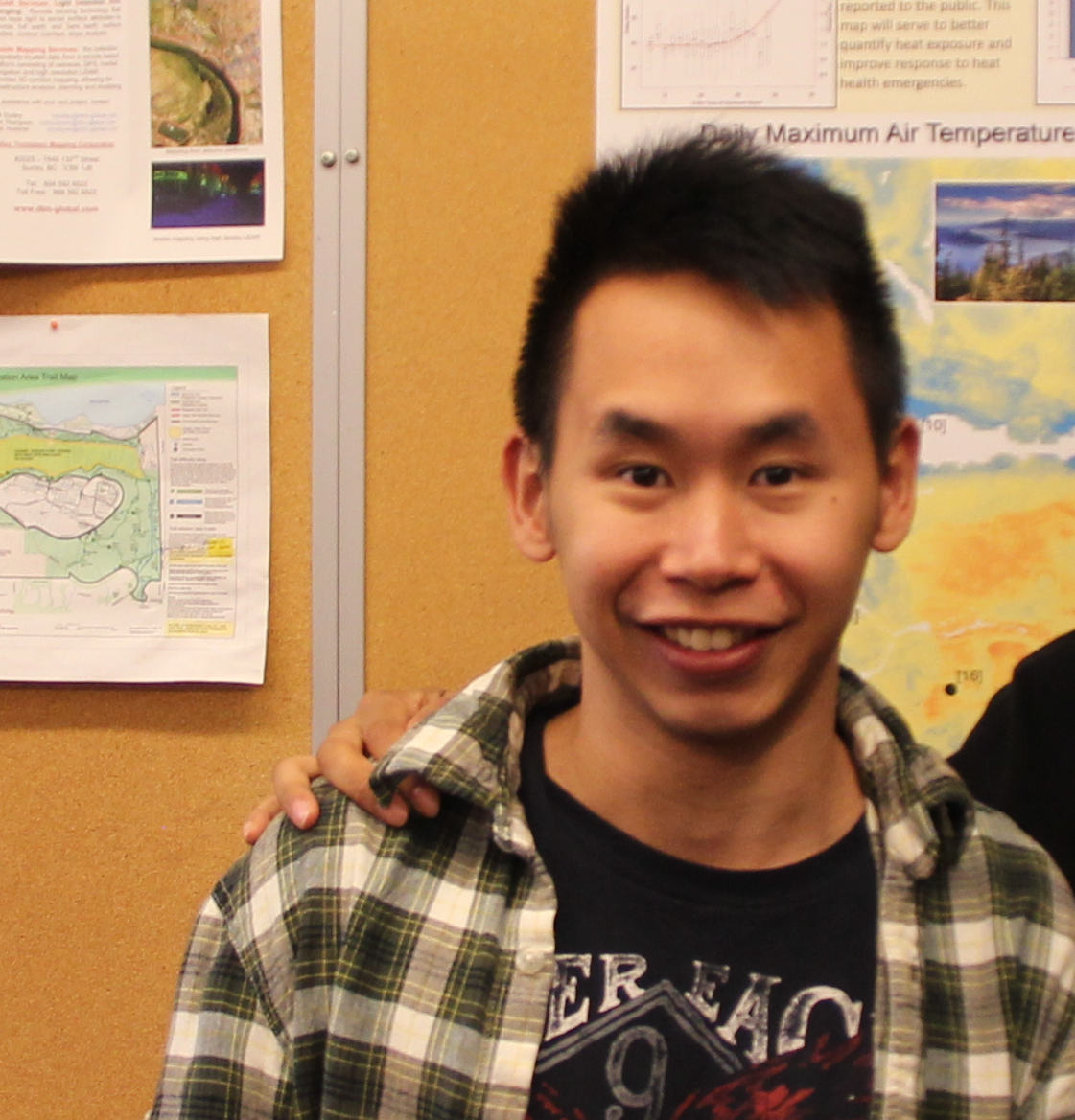
Impressions from the 2015 Esri Developer Summit: Derrick Ho
Derrick Ho is a PhD candidate from the Department of Geography at Simon Fraser University who was selected by his school’s Centre of Excellence to attend the Esri Developer Summit in Palm Springs, CA. Derrick wrote this brief article about his what he took away from the Developer Summit.
The Esri Developer Summit proved to be a valuable experience for a graduate student like me. As a PhD candidate, the summit provided a platform for me to gain a solid background in how to apply GIS modelling and programming to my research.
During Mar 10 – 13, I attended the 2015 Esri Developer Summit in Palm Springs, CA. During the summit, I found there were many useful technical sessions where I could learn anything from basic programming techniques with Python and JavaScript, to more advanced concepts of how to use programming to implement GIS into city planning, emergency services, and natural hazard management.

As a spatial modeller who works with GIS techniques to enhance health applications, listening to the presentations from these sessions allowed me to experience some of the most innovative applications using ArcGIS and other Esri products. These sessions provided the most up-to-date information on how novel techniques could be used in research and industry. I was impressed by the interdisciplinary topics presented at the Developer Summit, which were not only beneficial to the GIS developers, but also useful for the GIS analysts and mapping technicians. I would recommend other people attend the Developer Summit in the future because it would be a great experience for researchers and students to make connections with other disciplines related to GIS without wasting time searching for information online.
Furthermore, the Esri Developer Summit also demonstrated several of the newest Esri products to researchers which they may not have access to otherwise. For example, ArcGIS Pro was very impressive. This product had the ability to integrate directly with the open statistical software R, which is very exciting for people who are working with this software in government sectors. R is a commonly used statistical tool, as it is free and comprehensive. However, there have been some issues integrating R with other GIS software. By using ArcGIS Pro, R can connect directly to Esri GIS software. For the open-source community, this change will be big news, and will change the way many people work with GIS data. This change also suggests that software will be more of an all-in-one package in the future, with greater ability to conduct complex analyses without constantly switching tools.
Finally, the Esri Developer Summit provided many opportunities for the attendees to communicate. It exposed me to some of the ways research groups and companies are using GIS in their everyday workflows. This experience helped me learn more about the newest Esri GIS technologies and gave me the opportunity to discuss these with other researchers and developers.
