
Carleton is here…
Greetings to all… I am Dan Patterson. I am an Instructor at Carleton University and have been teaching GIS related courses since about 1998.
My arrival into the world of teaching and academia was through the obvious trajectory of doing graduate work in Physical Geography specializing in the electromagnetic properties of properties. In reality, I was the only one that knew much about computers, so I became the guinea pig to teach our first GIS course.
My background in computers goes back to 1968, so I am ‘old school’. I am a Moderator on GeoNet, so some of you may have come across my name at one time or another. I have posted a significant amount of materials there in my Py blog for those that may be interested: https://geonet.esri.com/blogs/dan_patterson
Currently, my areas of interest are directed to application development within the GIS realm. However, this does not limit me to working within the traditional areas of GIS application.
Space is space… I have recently done some work assisting people in the medical field who are trying to map the dynamics of organ responses through a combination non-traditional applications of image classification (R/S), gis analysis (time series) and temporal analysis (multidimensional in time and space). This brought medical researchers to me to provide some assistance in linking their workflow and analysis. To this end, I have worked with multidimensional data for a while using NumPy (and its kin) and it was an obvious fit to their work.
So the lesson to learn from an old-school geezer? Don’t confine your interests to what is generally viewed as the traditional areas of GIS work. When you are ‘all over the map’ in your exploration … metaphorically… it will open a whole new world to you..
Need some terrain generation or maybe a river?… who needs a DEM… make your own
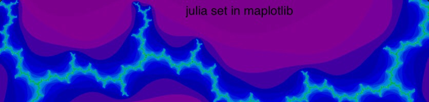
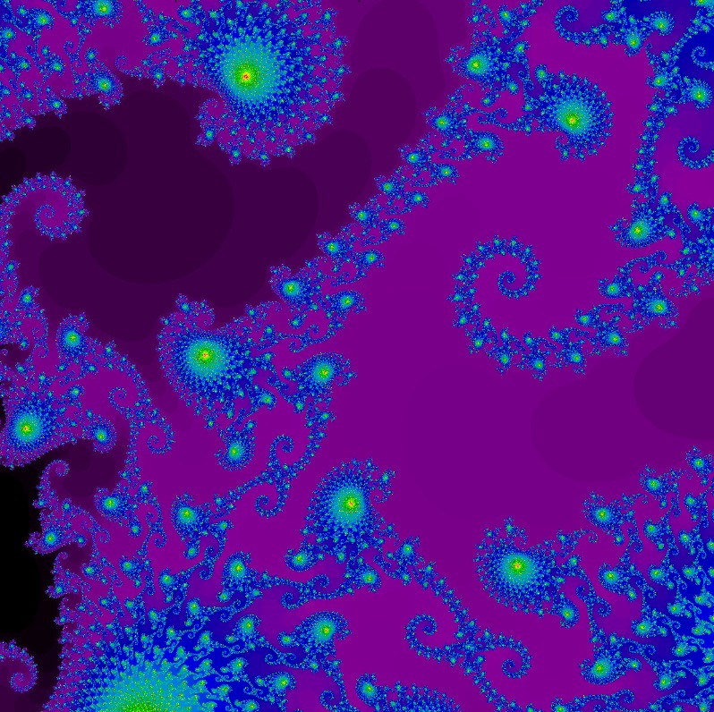
And when you get bored… you can change a couple of numbers and enter a whole new world…
But of course there is a practical side to programming within the GIS realm… providing tools and solutions to problems that aren’t currently available… as in this sample…

for producing a buffer ring with directional sector sampling from a core point. (actually… I just like pretty colours)
So if you have any questions that I can help with in the python, numpy or in general… give me a shout.
Cheers
Dan