Education and Research from Esri Canada @ the Esri UC, 2017
Last week, many staff from Esri Canada were fortunate to attend the Esri User Conference in San Diego. The conference hosted an impressive 16,000 attendees, 268 paper sessions, 324 workshops, and 354 demos (full stats reported on the Esri Blog). The plenary session was a great start to the week, with many talks highlighting the impacts of Esri technology in a variety of areas, how it has been put to effective use in specific industries (e.g., fishing for geoducks!), how it supports and inspires young learners (e.g., 4-H Tennessee GIS), and how enables smart cities (e.g., Smart Dubai). The final keynote by Dr. Geoffrey West was particularly thought provoking, discussing “The future of the Planet, Life, Growth and Death in Organisms, Cities and Companies”, shining a spotlight on the challenges that the global urbanizing population faces in the future.
Esri Canada had a significant presence at the conference, along with 124 registered attendees from across Canada, and a great turnout for our Canada Night event. Our Education and Research group at Esri Canada contributed to four paper presentations delivered at the conference (links to be added when proceedings are published):
- Geovisualization of shipping noise exposure for whales in Canada, by Simone Cominelli, Michael Leahy, Michael Luubert, Brent Hall, and Rodolphe Devillers
- Geovisualizations for Publish Opinion in Smart Cities, by Matthew Tenney and Brent Hall
- Geospatial Methods for Building Community Resilience, by Melanie Fournier, Claudio Aporta, Brent Hall, Luigi Torretti, Rosemary Spicker, and Vivian Banci
- Urban Form and Energy: A Spatial Modeling Approach using CityEngine, by Jonathan Salter, Brent Hall, and Ronald Kellett
The ECCE is also represented in the above list by the presentation by Melanie Fournier from Dalhousie. In addition, Peter Johnson, a professor and director of our ECCE at UW, delivered a presentation on the Cost(s) of Geospatial Open Data, which explored the external and often unintended impacts of geospatial open data, and the costs or trade-offs created by provision of open data by governments.
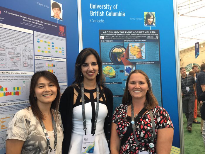
Attending with us was the winner of the Esri Young Scholar award in Canada, Emily Acheson, a PhD student at the University of British Columbia. She presented her work using GIS and remote sensing to compare malaria control interventions in Tanzania in the poster gallery at the Esri UC, and was presented with her award at the Esri UC Award Ceremony.


Finally, we were excited to have with us all three members of the winning team from this year’s ECCE App Challenge, Team Sweet e-Motion from York University: Benjamin Brunson, Justine Abdelshahid, and Stephen Kosmachuk. While they enjoyed their trip to the Esri UC, they were able to join us at our Canada Night celebration, and at the Esri UC Award Ceremony we presented them with certificates acknowledging their success in the App Challenge.


We are looking forward to seeing more from these excellent students as the continue in their academic and professional careers, and are grateful that they helped represent Canada with the rest of us from Esri Canada at the UC, and for the inspiration that they provide for our future students.
