 A ‘Mind Map’ of GIScience Basics
Posted 3 years ago
By Erin Li
This ‘mind map’ was originally created for my PhD candidacy exam preparation, to help me organize, understand, and memorize knowledge and concepts regarding GIScience. The ‘mind map’ includes four main parts: architecture design, database management systems, geospatial data, and data manipulation. Additionally, I briefly went over the basic concepts and technologies of photogrammetry and digital […]
Read More
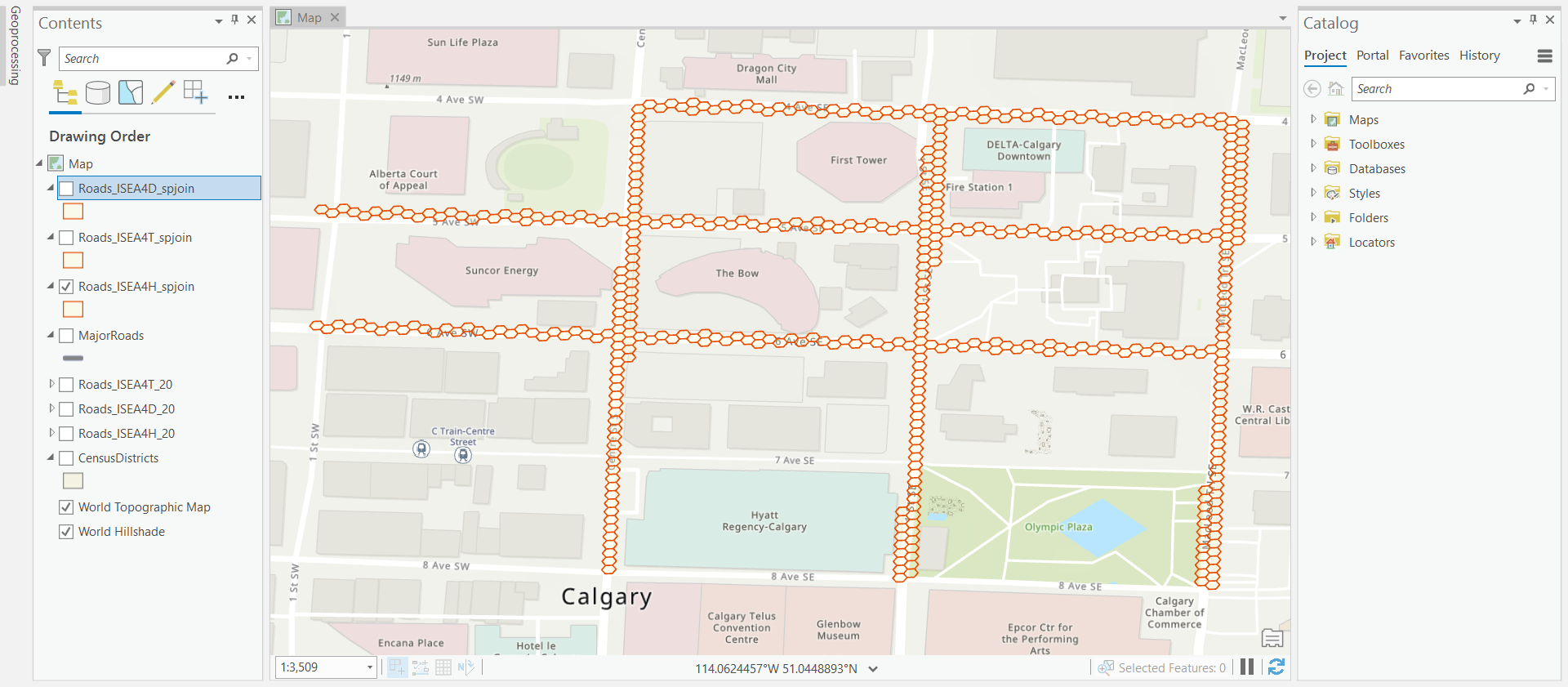 Modeling Line Features on DGGS Grids in the R-ArcGIS Environment
Posted 4 years ago
By Erin Li
A Glance at DGGS As a candidate for a new Earth reference standard, Discrete Global Grid System (DGGS) was confirmed by the Open Geospatial Consortium (OGC) as “a spatial reference system that uses a hierarchical tessellation of cells to partition and address the globe” in 2017. DGGS has been recognized as the most potential foundation […]
Read More
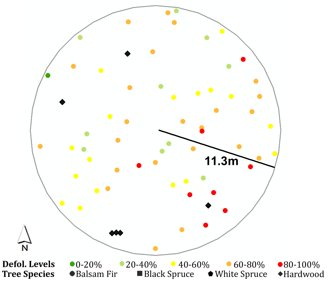 Handy Script Tool to Summarize Tree Characteristics within a Moving Search Window
Posted 5 years ago
By Erin Li
I have been working on a project about spatial patterns of spruce budworm defoliation within plots over the past year. During the research process, I had to summarize surrounding trees’ characteristics (e.g., average diameter at breast height, total basal area, average annual defoliation, etc.) for each analyzed tree, by different tree species, within different search […]
Read More

