
ECCE App Challenge 2018 – Helping Hands Toronto
The Esri Canada App Challenge is a week-long hackathon-type coding competition with the goal of creating a web application to solve problems based on a specific theme, built on Esri technology and using open data. It involves creating an operational app, submitting its source code, creating supporting documentation, and a video sales pitch.
This was my second year participating in the challenge, so I had a pretty good idea on what to expect. My team members this year were Mark Borthwick, Jayden Choi, and Chandler Podhordeski. They are all friends and colleagues I’ve met from the past few years of GIS and other assorted earth science classes. Though none of them had participated in the challenge before, they all had a solid grasp of web and desktop GIS as well as experience with R and Python, making them valuable teammates with some great ideas.
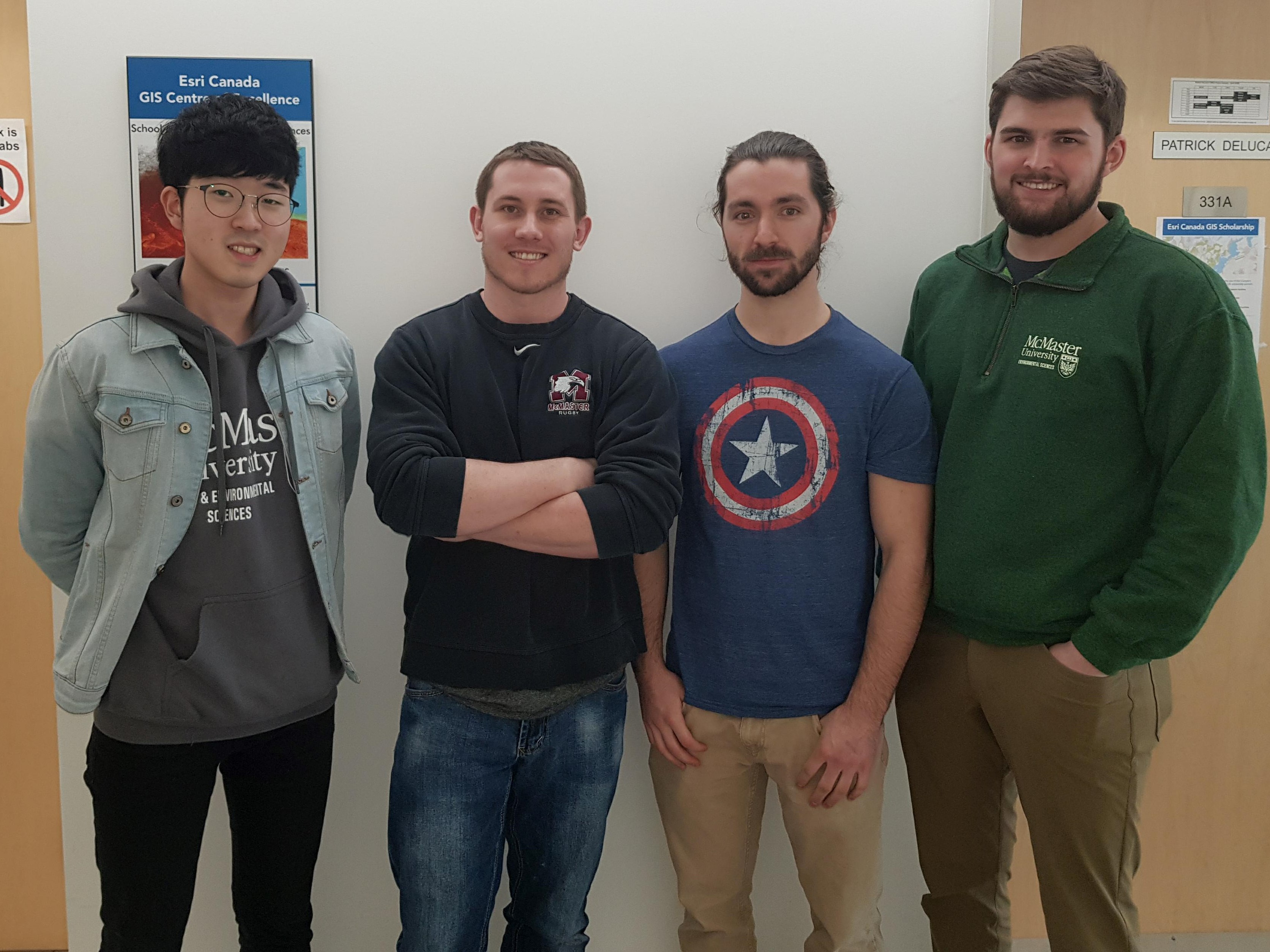
Dream Team 2018, from left to right: Jayden, myself, Chandler, and Mark
As the theme for the challenge this year was incredibly broad, we had lots of options to explore for our app. Eventually we made a decision to create an easy-to-use tool to consolidate community resources for at-risk families in Toronto using the Web AppBuilder (Developer Edition) along with information from the city’s open geospatial data portal. Eight feature layers of different community resource types were either downloaded directly as point shapefiles, or converted to points from CSV files using their listed latitude and longitude coordinates. The application used various widgets to identify and filter available services and their locations within a given radius of a given location, as well as providing walking and driving directions to desired facilities. More details about our team and app, along with a live demo, can be found in our team’s profile on the App Challenge GitHub webpage.
I was pretty impressed with how much the WAB widgets have improved from last year, with their increased functionality giving us a ton of new possibilities. An important newly updated widget we used was the Near Me tool, which allowed us to capture all types of community resources within a specific search radius. The challenge also gave me an opportunity to work with the Arcade expression language that I’d been introduced to in Esri’s Smart Mapping Higher Education Course a few months ago.
Though nobody in our group had much of a background working with JavaScript, our experience with other languages allowed us to play around a little with the WAB Developer code to customize certain aspects of the pre-set themes such as icon colour, size, and more. As I’ll be doing my master’s degree at McMaster over the next two years and continuing my work as an ECCE Student Associate, hopefully I can learn a bit more of this and add extra customization to my submissions for the 2019 and 2020 challenges.
At the end of the day, I’m happy with the app we managed to produce and what we all learned from this experience. Working with Arcade definitely helped me improve my web mapping capabilities, and this also let me apply some of the other Smart Mapping concepts that I learned this year. I’m hoping that we end up doing well in the Challenge, and more importantly manage to distribute our app to help families in need.